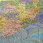
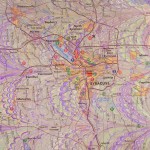
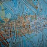
Maps are some of my favorite recycled papers to marble. I try to use colors that complement the areas of the map – browns and rust for desserts, blues and greens over the oceans – as well as harmonize with any printed colors. As with much in marbling, you can plan a lot, but the paints seem to have a will of their own in the end and that’s the element I find so fascinating. The little drop of white that centers itself right over a town or the purple swirl that almost follows a coastline or the yellow streak of marbling that happens to disappear on top of a printed red and magically appear again to lead to a river or mountain is always a surprise.
Here are a few maps I’ve marbled in the past.
- Ireland
- Syracuse, NY
- Sky map
- Long Island
- Eastern Europe
- France
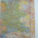
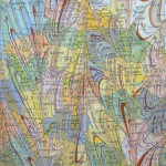
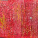
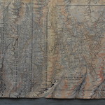
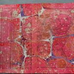
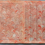
In my last marbling session I did a bunch of pages from an atlas. Because of the way books are made, when disbound the pages are not consecutive, so I had gazetteer pages facing map pages. I had originally planned to use both pages for ladders, but I like the maps so much that I don’t want to cut them up. Here are some of the pages.
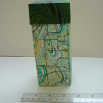
I’ve used my marbled maps in numerous projects: books, towers, portfolios, almost everything I make, I’ve tried it with maps.
- Treasure Tower
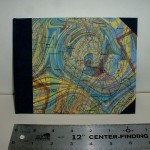
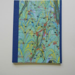
- Book Cover
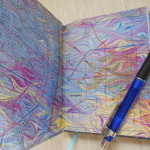
- Book endpapers
- Portfolio
The map covered towers have been very popular, especially when I use local maps. Eventually I will map some map ladders, but right now I’m “laddered-out” as you will see in my next blog!

Pingback: Marbling Geography | Losing Her Marbles